
Located between Via Cassia and Via Flaminia, the Veio Regional Park is the fourth largest park in Lazio, with 15,000 hectares in which nature, history and culture merge into a landscape of inestimable value. It includes nine municipalities in the North of Rome: Campagnano di Roma, Castelnuovo di Porto, Formello, Magliano Romano, Mazzano Romano, Morlupo, Riano, Sacrofano and the XV Municipality of Rome, which, with its 7,000 hectares, occupies about half of the protected area.
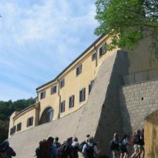
The park, established at the end of 1997, has very ancient origins dating back to the times of the Etruscans, the Falisci and then the Romans, populations that have inhabited it over time, establishing their settlement models: from prehistoric huts to medieval fortified villages, from Roman and Renaissance villas to the last-century farmhouses.
The ancient Etruscan city of Veio stood on a triangular plateau, lapped by the rivers Fosso della Mola and Cremera, a tributary of the Tiber, where settlements of huts were already in the Bronze Age and the Villanovan period (early 9th century BC).
Following the growing economic development, also due to the flourishing commercial exchanges, the city became an urban centre with a wall of tuff blocks and a mighty defensive embankment with a moat in front and masonry houses (7th-6th century BC). The proximity to Rome caused an inevitable conflict for controlling the territory, which ended with the definitive conquest and consequent annexation of the city by Furio Camillo in 396 BC. After a period of abandonment, the area became a colony under Caesar and then a municipality with imposing buildings under Augustus before being abandoned again, perhaps as early as the 2nd century AD, until the Middle Ages, when the Borgo of Isola Farnese was born.
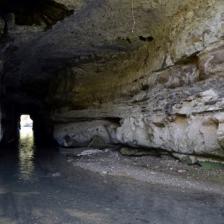
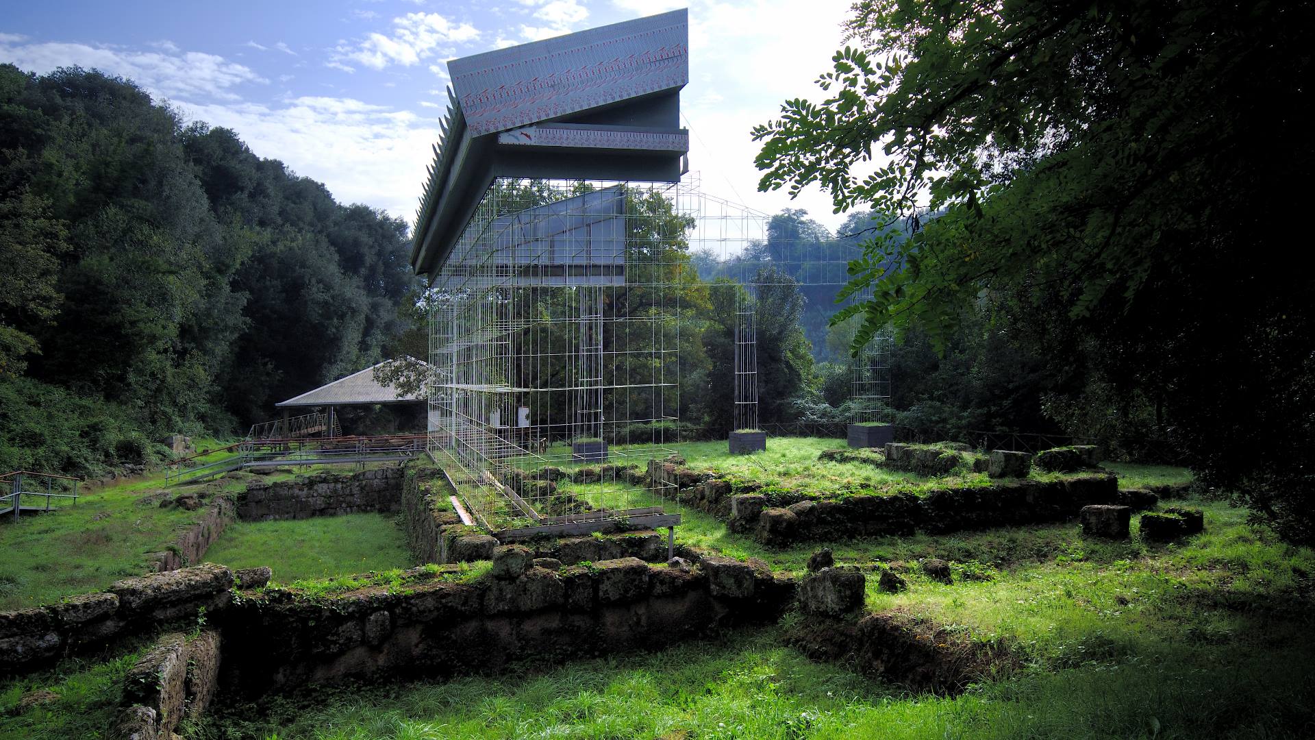
The park area, especially in the north of Rome, remains largely intact and has remarkable archaeological testimonies from the Etruscan and Roman ages and a series of complexes and monuments from the Middle Ages. Among the places of interest are: the sanctuary of Portonaccio (Direzione Musei Statali della città di Roma photo by Marco Scataglini), the most important in the city, located outside the urban nucleus and dedicated to the goddess Minerva; Ponte Sodo, a tunnel about 70 meters long of uncertain date - between the Etruscan period (6th century BC) and the one following the Roman conquest - dug to facilitate the outflow of the Cremera river during floods; numerous necropolises around the city with tumulus and chamber tombs, including the Tomb of the Roaring Lions, the oldest Etruscan tomb with wall paintings (second quarter of the 7th century BC), and the Campana Tomb (late 7th century BC), decorated with animal figures, plant motifs and knights accompanied by people on foot or fantastic animals.
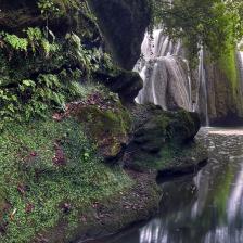
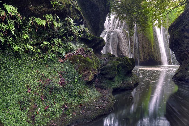
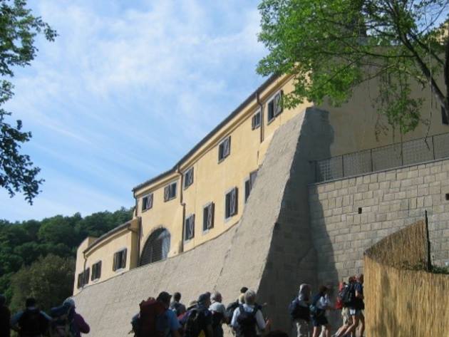
The Veio Park includes 99 kilometres of paths, including the Via Francigena, which allow you to admire the landscape variety of the area, where hills alternate with deep wooded ravines crossed by streams and flat valley floors. Along the itineraries, you can discover waterfalls, woods, pastures, necropolises or evocative "tagliate" dug into the tuff by the Etruscans. Today, the trails are marked with the CAI (Italian Alpine Club) numbering and entered in the Club's national archive.
Most of the paths are walkable on foot and horseback, except some which, due to the characteristics of the terrain, are accessible by bicycle or mountain bike.
The approximately 1,200 hectares of land intended for civic use consist of woods and pastures, fundamental from an ecological point of view for the integrity of the territory and the maintenance of the original landscape.
The hilly landscape originates from the action of the Sabatino volcano that began about 600,000 years ago. From the central area - the crater of Sacrofano - large surfaces extend towards the peripheral areas of the park itself. The surface waters have dug the tuff, creating narrow and deep valleys. Over time, the eruptions of the Sacrofano volcano have diverted the course of the Tiber further east by a few kilometres. The remains of ancient volcanic buildings and calderas invaded by lakes, later dried up, have strongly influenced the morphological characteristics of the area. Currently, in the countryside, it is possible to recognize a series of minor craters and the large sinking area of Lake Bracciano.
The typical richness of groundwater in volcanic areas has created numerous springs, some characterized by cold mineral and thermo-mineral waters. Water is essential for the survival of ecosystems; the ditch system that crosses the protected area is the main source of environmental and biological diversity.
The vegetation is generally characterized by agricultural activities and pastures, one of the park's main aspects and a notable productive and landscape resource. The areas with natural vegetation are limited to the portions of territory where the morphology of the landscape has imposed itself on agricultural activities or where agriculture was abandoned. The wooded areas represent traces of the original vegetation, whose structure is historically related to grazing, production of wheat and oil, and management of the oak woods on the hillsides and gorges, among the most characteristic elements of the territory.
The valleys are very suggestive, narrow and deep or with sheer walls, formed over millions of years thanks to the tufa rocks' erosion by the water. Their particular appearance and uniqueness have allowed the optimal conservation of the habitat of species such as the Hungarian maple and the cork oak. The gorges also provide the ideal conditions for the development and presence of ferns, of which the park boasts 16 distinct entities. Other species are Turkey oak, downy oak, field maple, minor maple, black hornbeam and manna ash. The uncultivated parts of the territory and all the marginal areas - roadsides, paths, clearings - also have some species of particular rarity, such as the large-tailed mullein, the buttercup, the broomrape and the yarrow of the hills. There are 730 documented floristic species in Veio Park, including 12 ones of spontaneous Orchids, all rare or uncommon.
A rich fauna and birdlife populate the environment, including green woodpeckers, red-backed shrikes, porcupines, hedgehogs, badgers, wild boars and various species of amphibians, such as the spectacled salamander in the Valle del Cremera – Zona del Sorbo.
Photo Credits: Ente Parco Regionale di Veio
Information
Aperto dall'alba al tramonto
 Condividi
Locations
To find out about all accessibility services, visit the Rome accessible section.


