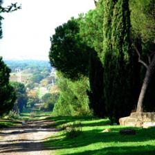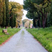
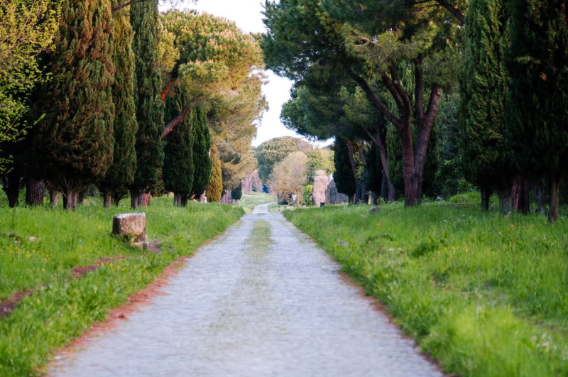
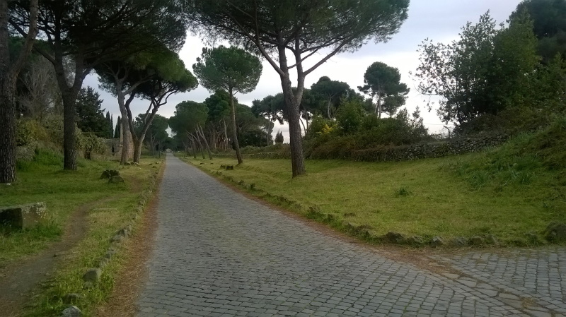
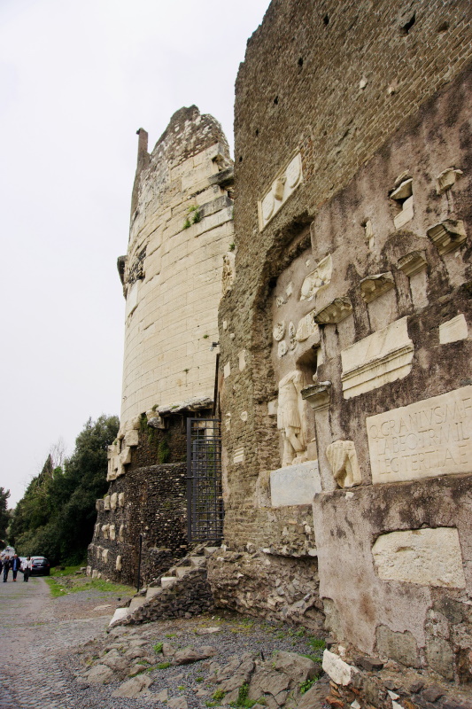
Located in the park of the samen name, the Appian Way keeps a historical, archaeological, and architectural heritage unique in the world. Walking or cycling among these 2300 years old extraordinary testimonies is an unforgettable experience to try at least once in a lifetime.
The Appian Way was designed in 312 BC by the censor Appio Claudio Cieco: his goal was to build a road axis that quickly connected Rome to Capua for the movement of troops southwards during the Second Samnite War (326-304 BC). Later on, the route was extended to Brindisi to directly connect with Greece, the East, and Egypt, for military expeditions, travels, and trade. It was the most famous route in the Roman era: the Regina viarum (the queen of the streets).
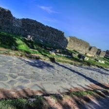
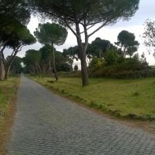
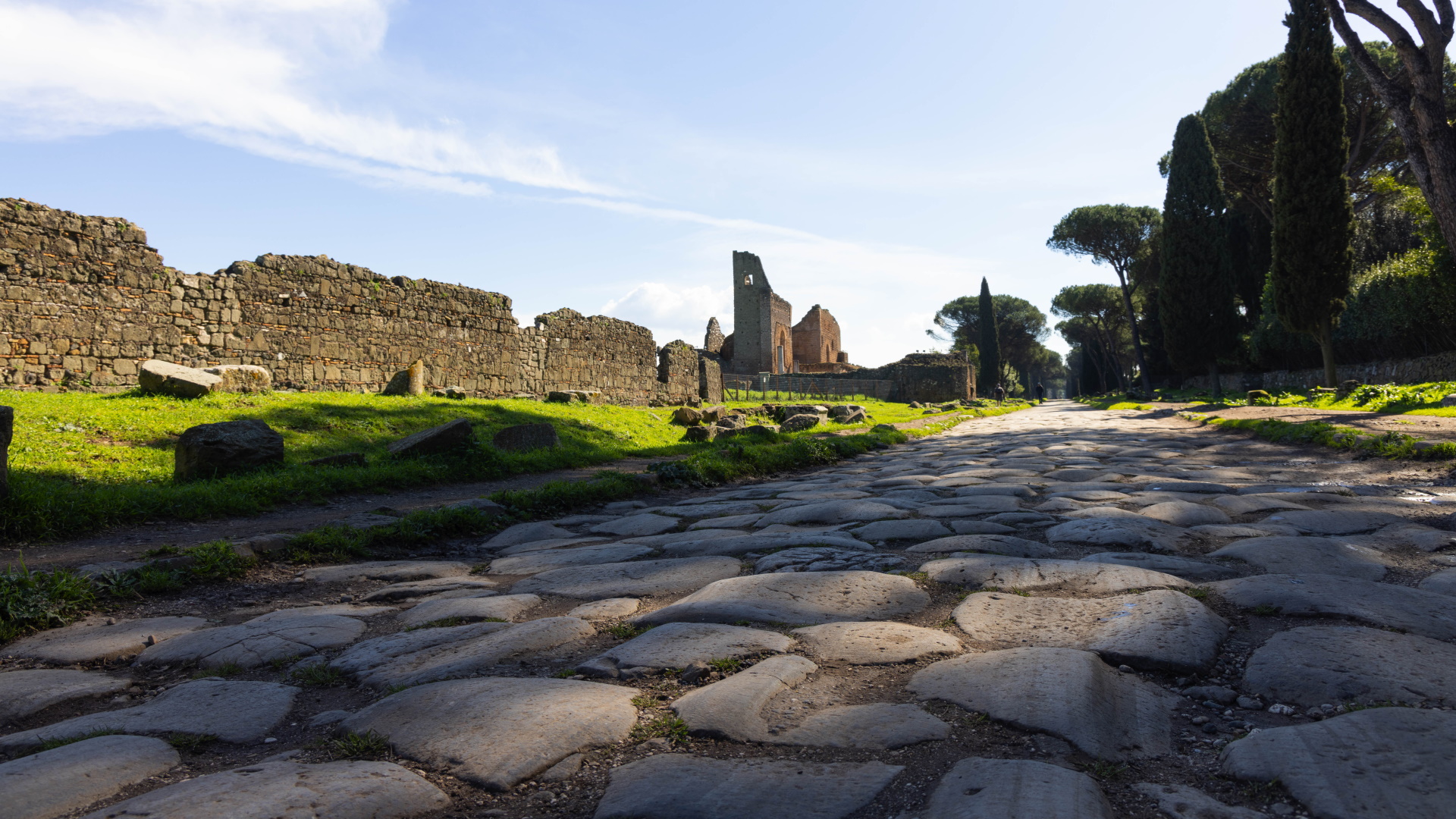
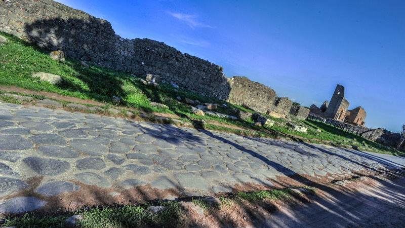
Today, the first kilometers are no longer visible, but from the junction to via Ardeatina, near the Domine, quo vadis? Church, a long straight road with hundreds of ancient monuments on both sides, begins. In 189 BC, the old pavement was replaced with the so-called basoli, large well-polished basalt stones extremely resistant to the passage of heavy vehicles and people that you can still observe.
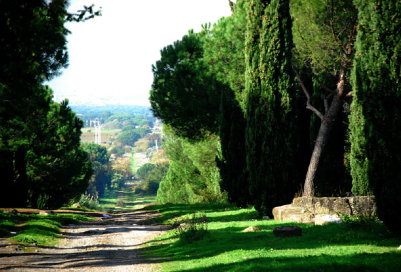
Its roadway was about 4.10 m wide to facilitate the passage in both directions. Its wide sidewalks were scattered with funerary monuments. The Appian Way was surrounded by lush countryside on which rural villages rose. The settlements were soon replaced by large patrician villas owned by wealthy Romans, who wanted to relax, away from the city chaos. The Appian Way was also very popular for the pilgrims who came to Rome to visit and pray in the Christian sanctuaries built outside the city walls, near the catacombs.
From the 4th to the 6th century, the Appian Way suffered from decline due to wars, invasions, and despoliations. Furthermore, the bodies of the martyrs were moved inside the city. When the Church took possession of the surrounding Roman countryside, small, completely self-sufficient villages began to rise. They included farmhouses, towers, churches, lodgings, stables, mills, and vegetable gardens. The road had all the characteristics of a typically medieval route.
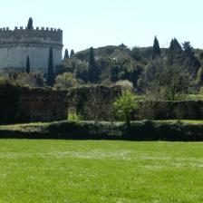
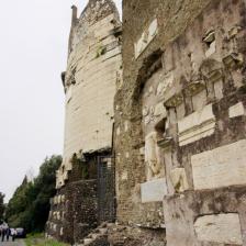
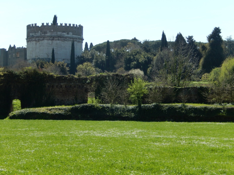
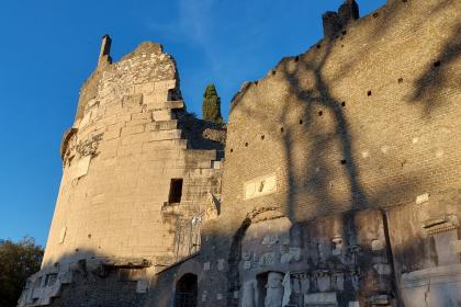
The ancient Roman tombs were reused as turrets, armed guard posts from which to control the territory. Among these is the famous Mausoleum of Cecilia Metella and the Nymphaeum of the Villa dei Quintili modified and reused by the Caetani family as a watchtower with crenellations. Between 1302 and 1303, the Caetani family also dominated Capo di Bove on which a large fortified complex was built: the Castrum Caetani. Goods and travelers passing through were subjected to heavy tolls that caused a further abandonment of the road, which was replaced by an alternative route.
Moreover, the reuse of materials for new buildings and the interest that scholars and antiquarians had for ancient findings contributed to further spoliations and consequent decline. In 1589, for example, the demolition of the Mausoleum of Cecilia Metella to provide building material for the Villa d’Este in Tivoli was narrowly avoided.
Between the 17th and 19th centuries, the era of the so-called Grand Tour began. It was the journey to Italy that the offspring of the European aristocracy made to become true gentlemen. Rome was one of the unmissable stops. Here, they could visit the ancient ruins and buy works of art and lovely souvenirs. Among the most famous travelers, we can mention the German writer Johann Wolfgang Goethe and the English romantic poets and great friends John Keats and Percy Bysshe Shelley.
In 1851, thanks to Pope Pius IX, a comprehensive recovery plan for the Appian Way was launched to allow visitors to walk there and admire its monuments as it was an unequaled open-air museum.
In 2024, the 46th session of the World Heritage Committee, held in New Delhi, India, inscribed the site 'Via Appia. Regina viarum' on the UNESCO World Heritage List, for the innovative engineering techniques by which it was built that make it an astonishing example of construction and architecture illustrating a significant phase in human history. Moreover, the first 12 miles, studded with numerous famous monuments, constitute one of the most celebrated stretches of the route in art throughout the centuries.
Photo: Redazione Turismo Roma
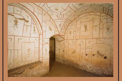
The Catacombs of San Sebastiano
 Condividi
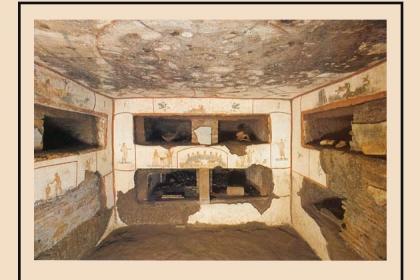
The Catacombs of Saint Callistus
 Condividi
The Mausoleum of Caecilia Metella
 Condividi
Information
 Condividi
Location
To find out about all accessibility services, visit the Rome accessible section.


